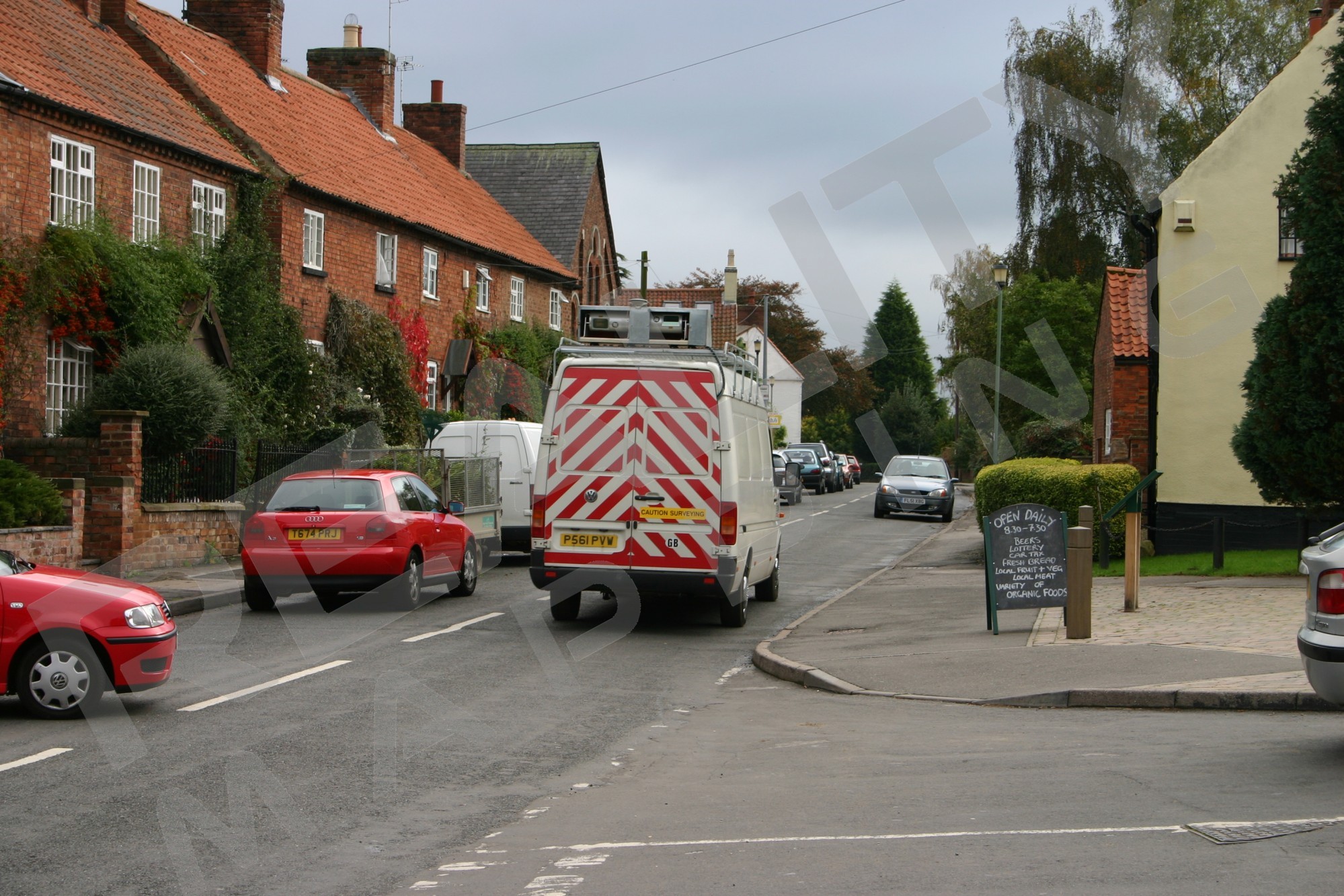
- Typical van (usually with a high roof)
- 4x4 vehicle
- Quad bike (larger models)
- Boat
- Train
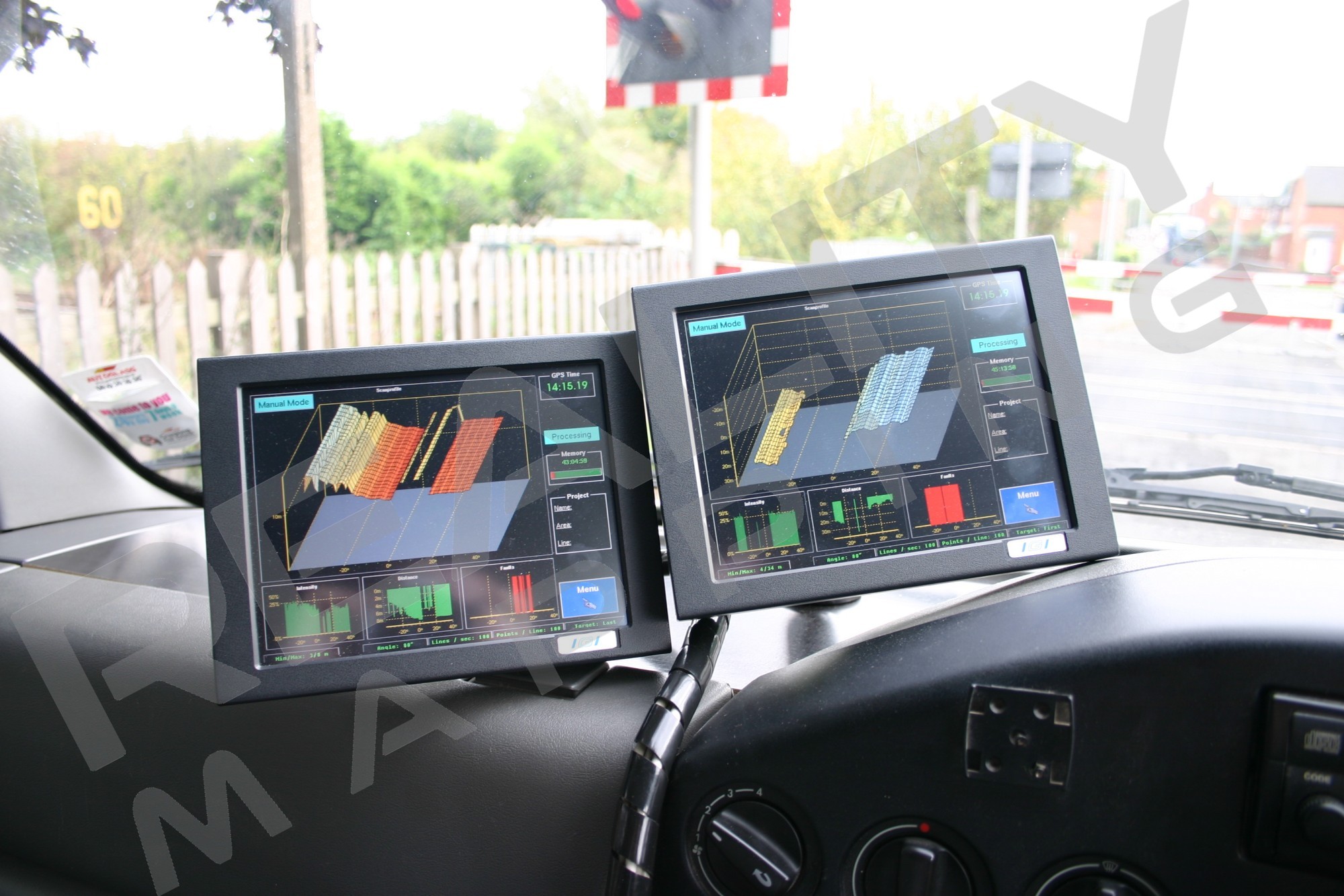
StreetMapper uses multiple Riegl LMS-Q120 2D laser scanners, each with a range of 150m and 80 degree scanning angle. The LMS-Q120 performs up to 10,000 measurements per second with a scanning rate up to 100 scans per second. Numerous laser scanners can be used, and can be arranged on the scanner platform to suit the customer’s requirement.
Accuracy
The StreetMapper survey vehicle uses well-proven laser scanning technology to capture the position of up to 16,000 3D points per second whilst in motion. The typical positional accuracy is better than 1m and the point-to-point accuracy within the data is 3cm.
Deliverables
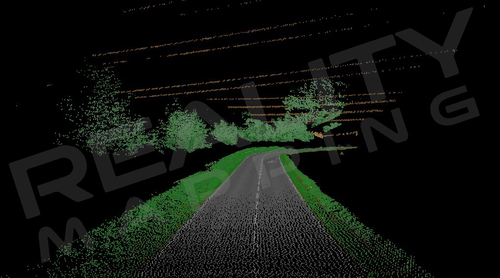
An inherent feature of LiDAR data is that it is acquired, processed and delivered in a digital format, making it very easy to work with and to create data products that meet a wide range of needs. The system is easy to mobilise and immediately after the survey the data is processed to provide point data with XYZ position and reflective intensity. Depending upon the customer’s requirements, the data can be processed and analysed further:
- Classification of laser data (for example ground, vegetation, buildings, wires)
- Vectorisation of laser data
- Measurement of features
- 3D modelling and texturing